InciWeb posted the June 27 operations video for the Pocket Fire, the incident management team's daily briefing on planned firefighting operations north of Sedona during peak Red Flag conditions.
Yavapai County · 2026
Active · 1,512 acres · 0% contained
- Acres
- 1,512
- Containment
- 0%
- Last update
- —
Source: NIFC WFIGS feed
Current status
As of June 27, 2026, InciWeb put the Pocket Fire at 2,114 acres and 0% contained, with 856 personnel assigned about 7 miles north of Sedona under Southwest Complex Incident Management Team 2. Crews held the north line against wind gusts to 58 mph and stopped four spot fires that crossed Forest Road 231, the largest about a quarter acre.
Oak Creek Canyon between Sedona and Forest Highlands stayed in SET status, open only to residents, and State Route 89A and Woody Mountain Road (Forest Road 231) remained closed. Peak Red Flag Warning conditions held with low humidity and no rain in the forecast, and a community meeting is set for June 29 at Sedona Red Rock Middle and High School.
Sources: InciWeb, Coconino National Forest
Recent updates
These headlines link to reporting by news outlets and agencies, not by AZMap.
- Pocket Fire operations video for June 27: north line holds
- Pocket Fire Update: 2,114 acres, crews hold north line in high winds (June 27)
As of June 27, InciWeb put the Pocket Fire at 2,114 acres and 0% contained, with 856 personnel assigned 7 miles north of Sedona. Crews held the north line against gusts to 58 mph and stopped four spot fires across Forest Road 231. Oak Creek Canyon stays restricted to residents and 89A is closed.
- Pocket Fire incident meteorologist video for June 27
InciWeb posted a June 27 incident meteorologist video for the Pocket Fire, in which Ryan Walbrun reviews the fire weather as a third day of Red Flag Warning conditions brings strong winds and low humidity north of Sedona.
- Pocket Fire explodes as days of red flag warnings hit northern Arizona
Arizona's Family reports the Pocket Fire grew past 2,110 acres with no containment as three days of Red Flag Warnings brought winds gusting toward 50 mph. Businesses along State Route 89A near Oak Creek Canyon described falling ash and lost revenue while the canyon stayed in SET status.
- Pocket Fire operations video for June 26
InciWeb posted the June 26 operations video for the Pocket Fire, the incident management team's daily video briefing on the day's planned firefighting operations north of Sedona.
- Pocket Fire Update: 1,467 acres, Sedona meeting moved to June 29 (June 26)
As of June 26, the Pocket Fire grew to 1,467 acres at 0 percent containment with 969 personnel about 7 miles north of Sedona. Oak Creek Canyon stayed in SET status, State Route 89A remained closed between Sedona and Forest Highlands, and the Sedona public meeting was postponed to Monday, June 29.
- Pocket Fire Update: community meeting in Flagstaff, Oak Creek Canyon stays SET (June 25)
InciWeb's June 25 update set an evening community meeting at Sinagua Middle School in Flagstaff and said Wednesday's rain had little effect on the fire. Oak Creek Canyon stayed in SET status and State Route 89A stayed closed between Sedona and Forest Highlands.
- Pocket Fire seven miles north of Sedona grows to 1,187 acres, as seen in photos, videos and maps
The Sedona Red Rock News compiled resident photos, maps, and a timeline of the Pocket Fire, including the June 19 evacuation order that dropped to SET status on June 23 and a Red Cross shelter opened at Sedona Red Rock High School.
- Pocket Fire Update: 691 acres, Oak Creek Canyon stays SET (June 24)
InciWeb's June 24 update held the Pocket Fire at 691 acres and 0% contained with 678 personnel about 7 miles north of Sedona. Oak Creek Canyon stayed in SET status for residents only, and State Route 89A remained closed from Sedona to Fort Tuthill.
- Pocket Fire Update 06-23-2026
InciWeb's June 23 update downgraded Oak Creek Canyon evacuations from GO to SET, with access limited to residents. State Route 89A stays closed and crews continue an indirect attack in steep terrain.
- Pocket Fire crews dig in with camps and night operations ahead of midweek storms
The 257-acre Pocket Fire remained 0% contained June 22 as 432 personnel established spike camps and launched night operations to build a long-term suppression plan. SR 89A between Sedona and I-17 stayed closed, with midweek thunderstorm outflow winds flagged as a new threat to fire spread.
- Pocket Fire: Latest on the Arizona wildfire near Oak Creek Canyon
About 430 crew members were fighting the Pocket Fire near Oak Creek Canyon as of June 22, with aircraft treating roughly 90% of the fire area over the weekend. U.S. Forest Service officials flagged potential thunderstorm outflow winds later in the week as a major threat to fire spread.
- Pocket Fire burns near Sedona as hot, windy weather challenges crews
The Pocket Fire reached 320 acres as of June 22 with 0% containment, keeping Oak Creek Canyon under mandatory evacuations and SR 89A fully shut down. Sedona Fire Department officials cited drought, live fuel moisture, and limited fire history in the area as key factors complicating suppression.
- Pocket Fire evacuation orders end Tuesday; here's what remains closed
Evacuation orders for Oak Creek Canyon residents near the Pocket Fire end at 8 a.m. Tuesday as the fire holds at 257 acres north of Sedona. State Route 89A stays closed, along with area trails and campgrounds, while crews continue suppression.
- 'Pocket Fire' sparks near Sedona, evacuation orders downgraded
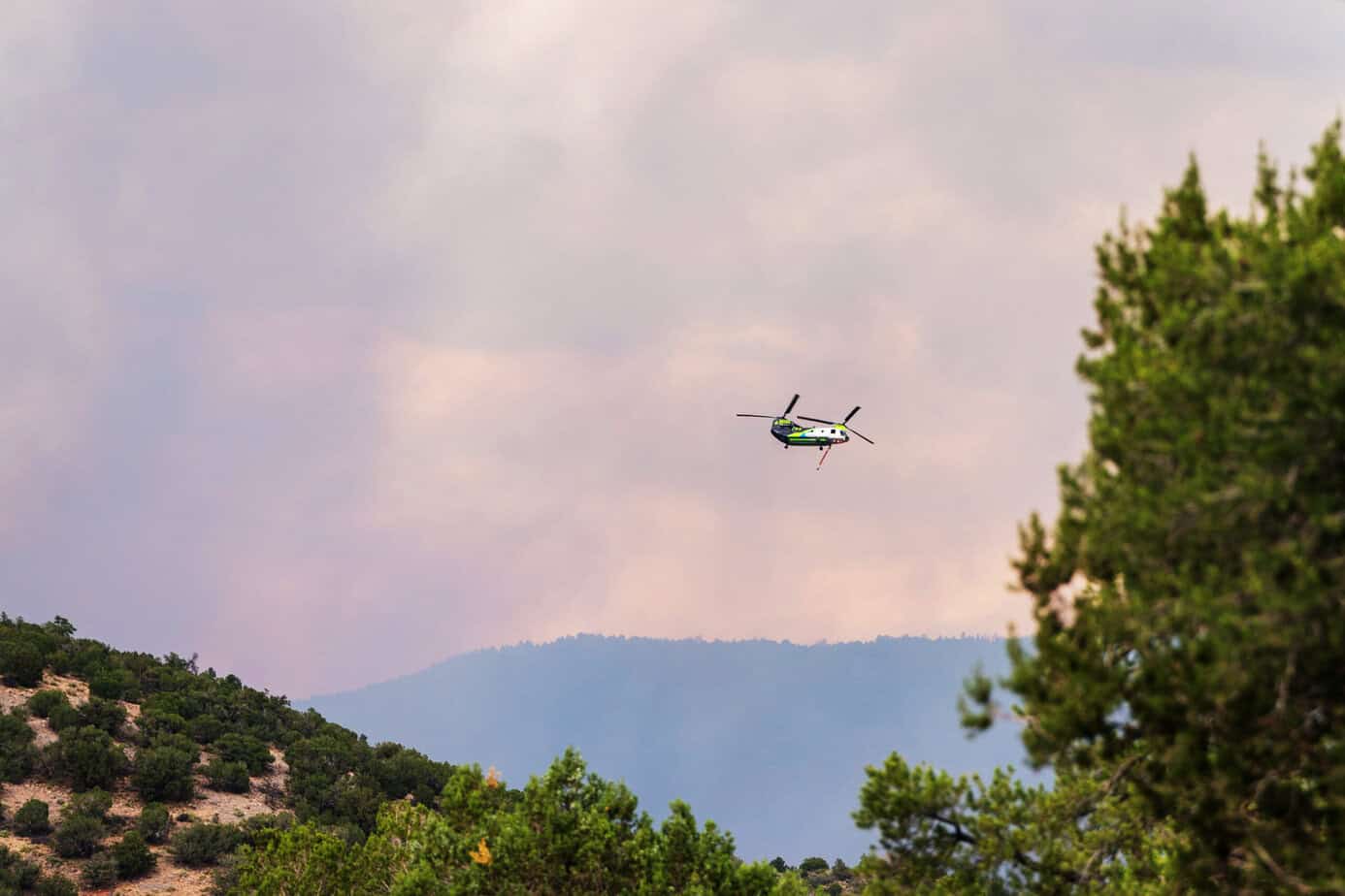
The Pocket Fire hit 320 acres at 0% containment, keeping Oak Creek Canyon under GO evacuation orders with SR 89A fully closed. Officials announced the GO order would downgrade to SET for residents only on June 23, with seven Hotshot crews, 13 engines, and six helicopters on scene.


Loading map…
About the Pocket
Pocket is an active wildfire in Yavapai County, Arizona. First reported June 20, 2026. As of the latest NIFC update the fire had burned 1,512 acres at 0% containment. Cause: Undetermined.
Live incident data comes from the NIFC Wildland Fire Interagency Geospatial Services (WFIGS) feed.