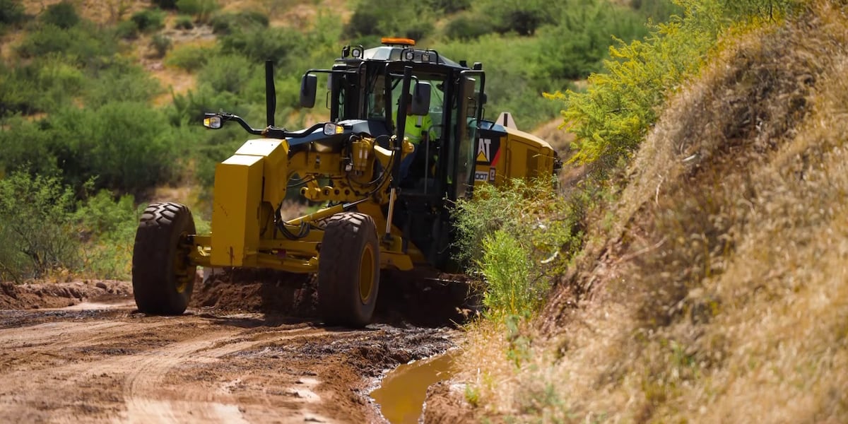
ADOT reopened the storm-damaged stretch of State Route 88 between Fish Creek Hill and Roosevelt Dam after monsoon storms dropped more than 8 inches of rain near Reavis Trailhead, causing rockfall, clogged culverts and erosion along the Apache Lake corridor.
Salt River · Salt River Project
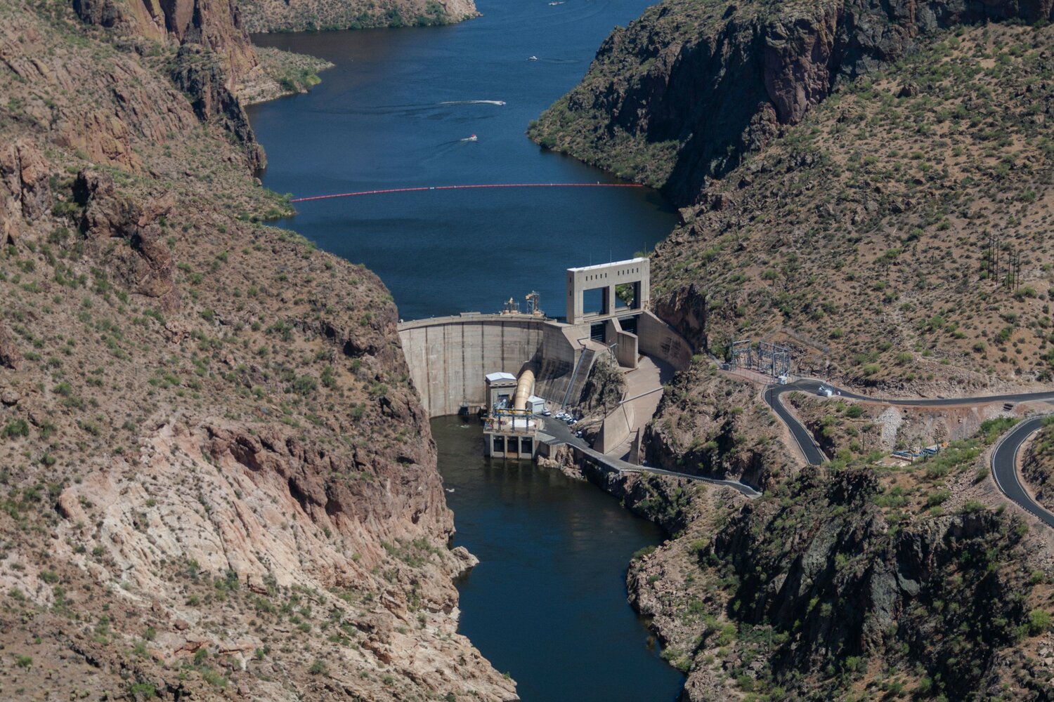
Apache Lake
Horse Mesa Dam · 0.25 MAF capacity at full pool
Loading live data
Loading map…
About Apache
Apache Lake sits behind Horse Mesa Dam on the Salt River, downstream of Theodore Roosevelt Lake. It is the second of four Salt River Project reservoirs along the Salt River corridor.
Horse Mesa Dam was completed in 1927 and is operated by the Salt River Project. Apache, Canyon, and Saguaro together regulate Roosevelt's releases into the Phoenix-area canal system.
Daily storage and elevation values come from SRP's Daily Water Report. AZMap presents a percent-of-capacity readout.
Recent coverage
Coverage from federal agencies and named news outlets. AZMap is not the publisher.
- Apache Trail restored, reopened after monsoon storms
- Canyon Lake drawdown project begins in September
Canyon Lake will be drawn down about 54 feet for 16 weeks starting September 16, 2026, for SRP and Bureau of Reclamation safety inspections at Mormon Flat and Horse Mesa dams. Horse Mesa Dam forms Apache Lake; the work covers normally submerged dam sections and the downstream river channel.